Seabed Survey – Ardmucknish Point

/
/
Seabed Survey – Ardmucknish Point

PROJECT
OVERVIEW

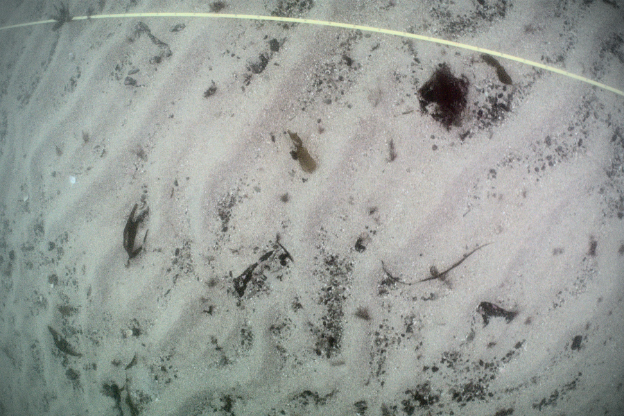
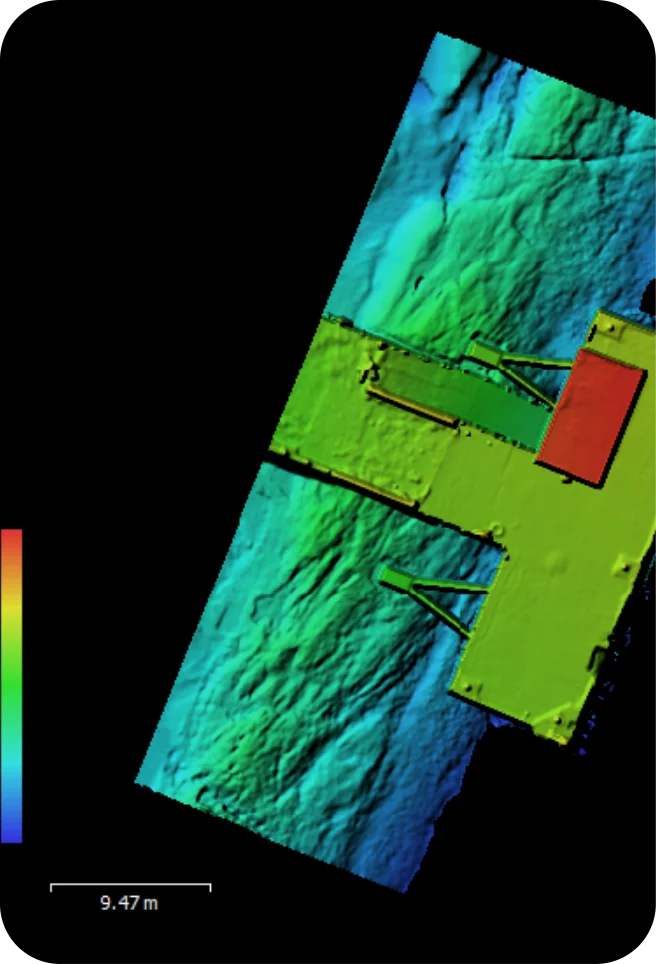
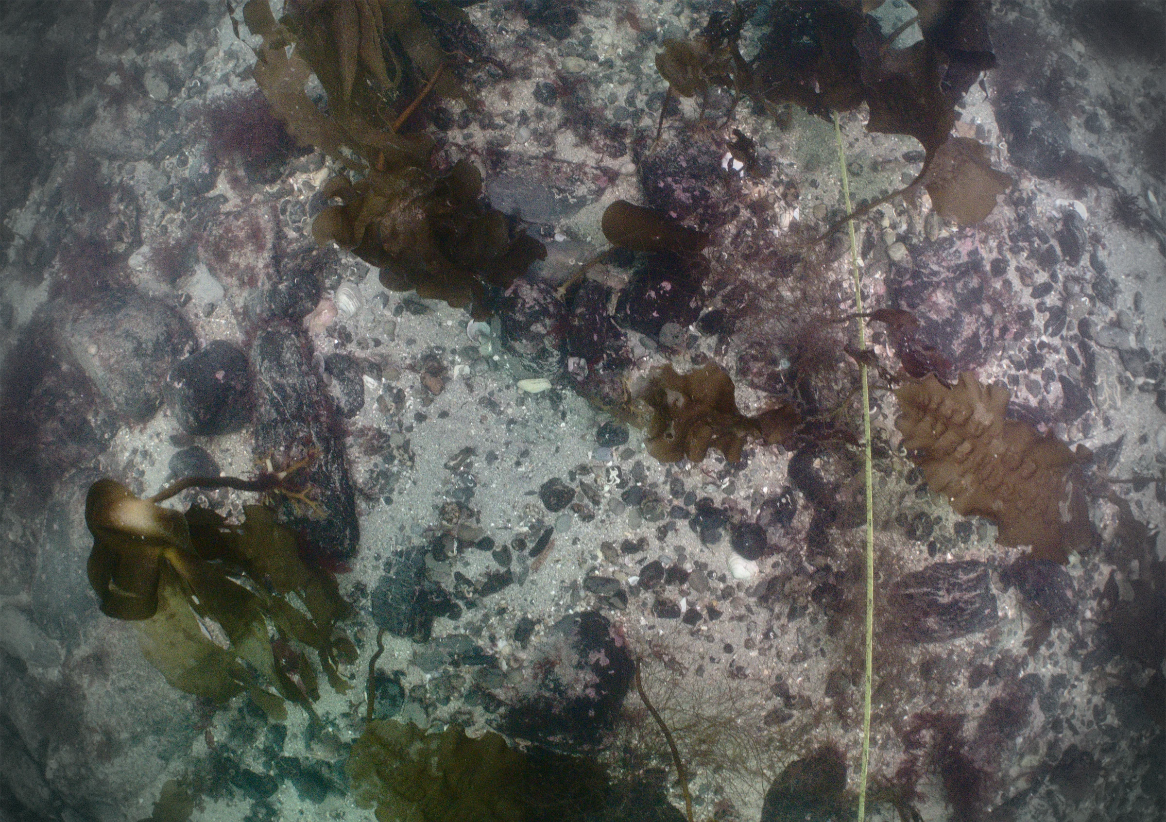
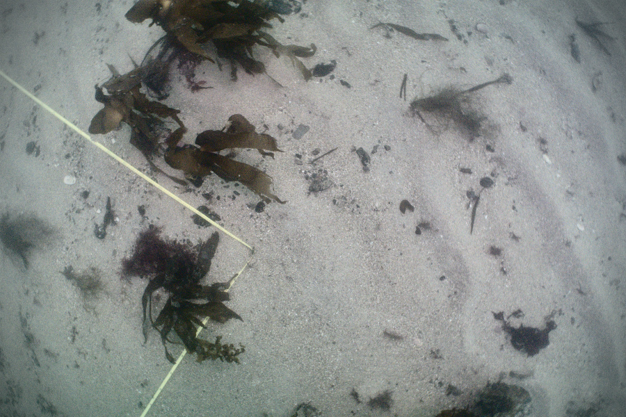
The waters around the west coast of Scotland have variable visibility, but can average 2-5 metres. Our standard 12×12 metre survey grid allows us to record a planar 144 square metres of seabed to centimetre-scale resolution in a single dive, even in very poor conditions. These grids are geolocated, and arrays of them can be scaled up to map a very large area, as well as monitor this area over time.

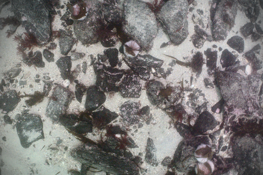
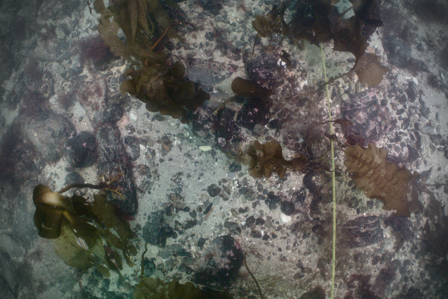
This particular survey shows one portion of the scallops nursery just below the kelp forest limit in the Firth of Lorne. Even well camouflaged and juvenile scallops can be picked up by terrain analysis, as their breathing and filtering disturbs the seabed around them in a characteristic manner. The small boulders at this site also provide a home for numerous squat lobsters and edible crabs.

SectorBIOSECURITY, CONSERVATION + THE ENVIRONMENT
ServicePhotogrammetry

INTERACTIVE 3D MODELS

- tritonia
- tritonia
- tritonia
- tritonia
- tritonia

Want to work with us?

Interactive 3D Model Navigation and Controls

Move camera: 1 finger drag or Left Mouse Button
Pan: 2-finger drag or Right Mouse Button or SHIFT+ Left Mouse Button
Zoom on object: Double-tap or Double-click on object
Zoom out: Double-tap or Double-click on background
Zoom: Pinch in/out or Mousewheel or CTRL + Left Mouse Button
Double-clicking the background also re-centers the model and sets the camera pivot point to the middle of its bounding box. Double-clicking anywhere on the model sets the camera pivot point to that spot.

WORK WITH US

Fill in the form below and we’ll get back to you once we’re dry and on land.

Or contact us by phone or email:

+44(0)1631 559211

[email protected]