Leading Environmental Solutions in Marine Renewables
Tritonia is at the forefront of environmental solutions within the Marine Renewables sector, pioneering advanced techniques in survey and monitoring. Our commitment to innovation and precision drives a range of services aimed at safeguarding marine ecosystems and supporting sustainable renewable energy initiatives.
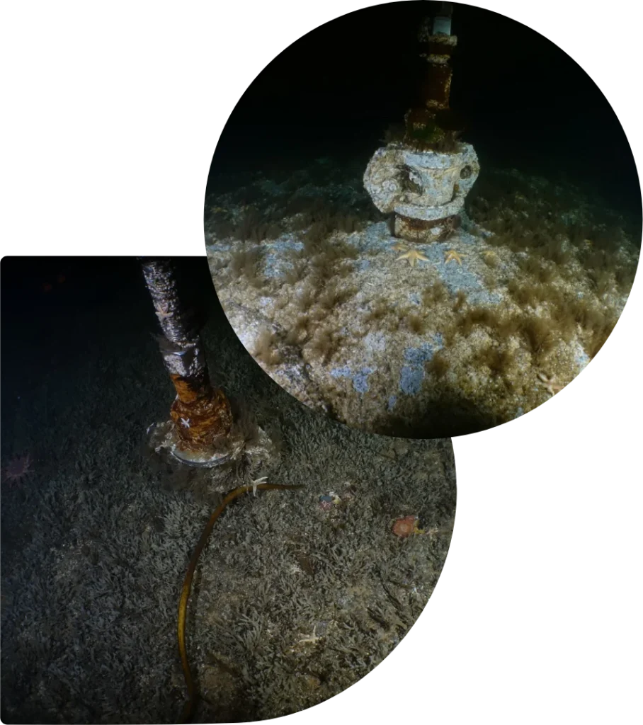
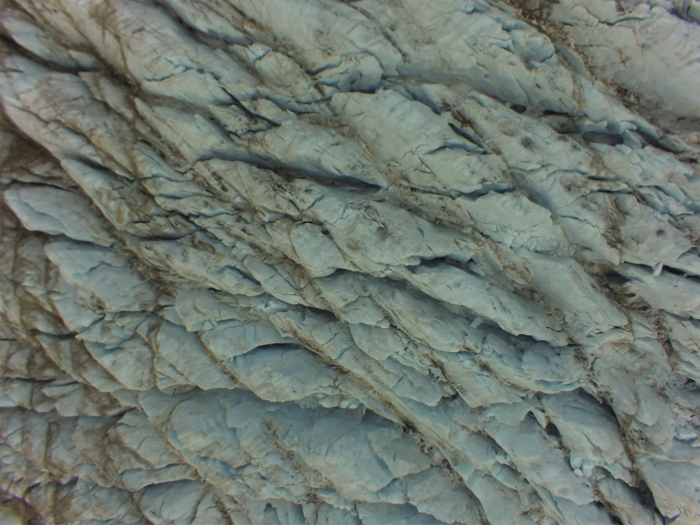
High-resolution 3D models combined with point-cloud comparison methods
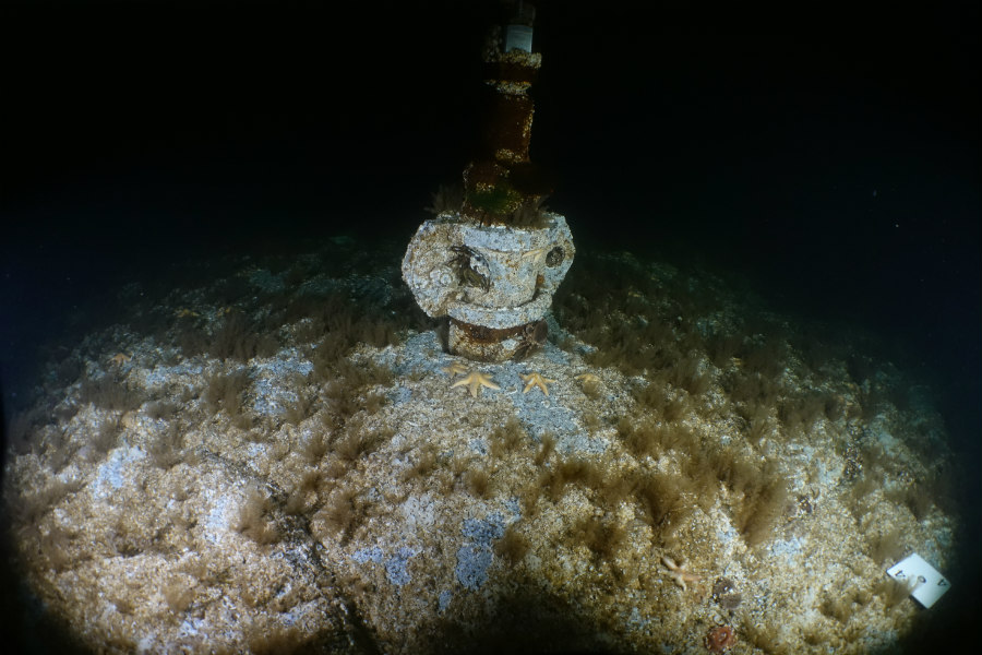
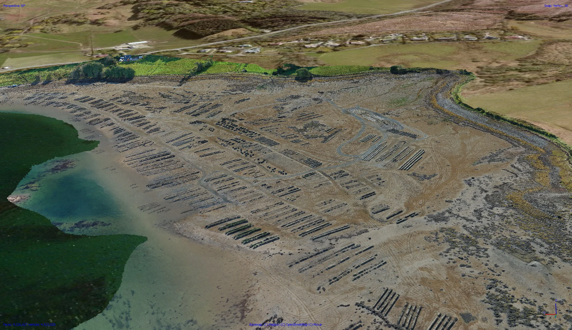
In a recent project collaboration between Tritonia Scientific and Sustainable Marine Energy Limited, our focus was on assessing direct embedment anchors used in Sustainable Marine Energy’s integrated tidal energy and aquaculture systems. This joint effort centered around evaluating advanced techniques like 3D photogrammetry combined with orthomosaic-based mapping to precisely measure and monitor the condition of these anchors, ensuring their optimal performance and longevity.
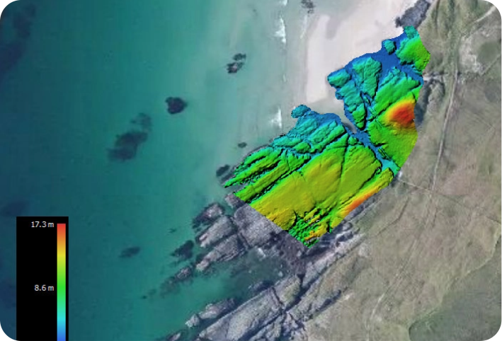
Our work involved creating high-resolution 3D models for swift point-cloud comparisons, identifying and quantifying areas of deterioration or erosion within the anchors, offering critical insights into their condition. Additionally, we utilised level-controlled and digital elevation models to determine the angle and extent of the anchors’ penetration. Georeferenced orthomosaics provided valuable feedback on the positioning of the anchors.
3D Photogrammetry Modelling for Marine Infrastructure
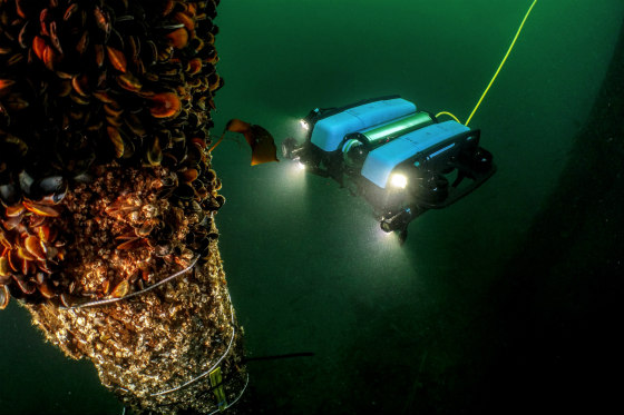
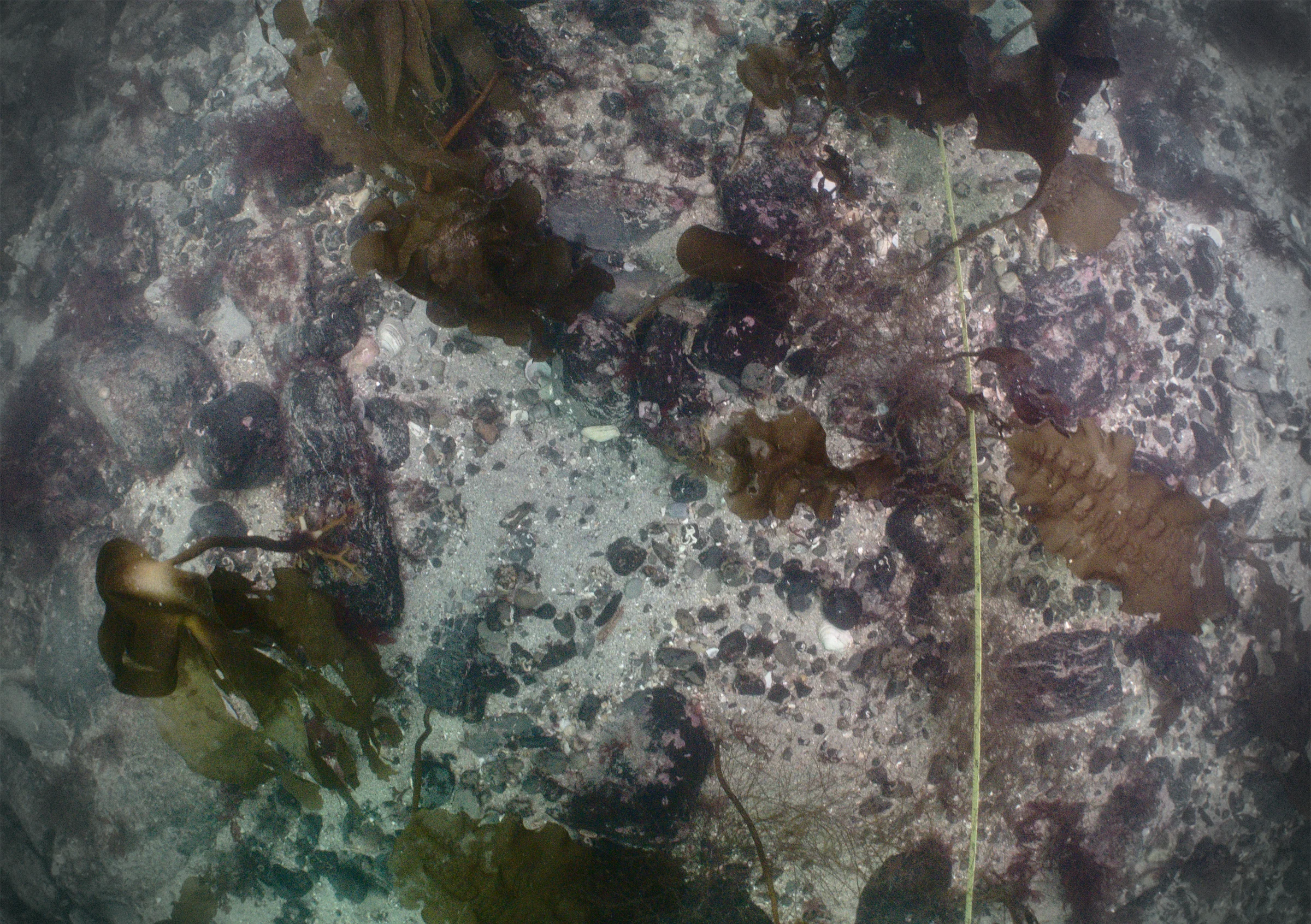
At Tritonia, we leverage cutting-edge 3D photogrammetry modelling to assess seabeds and subsurface infrastructure crucial to Marine Renewables. Through data collected by our expert divers or our observation class ROV, we generate highly detailed 3D models. These models offer precise insights into structural integrity and environmental conditions, facilitating informed decisions for conservation and maintenance strategies.
Non-Destructive Testing: Metal Thickness Assessment
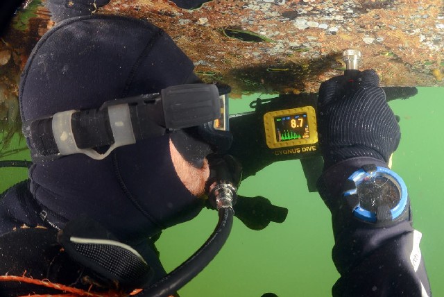
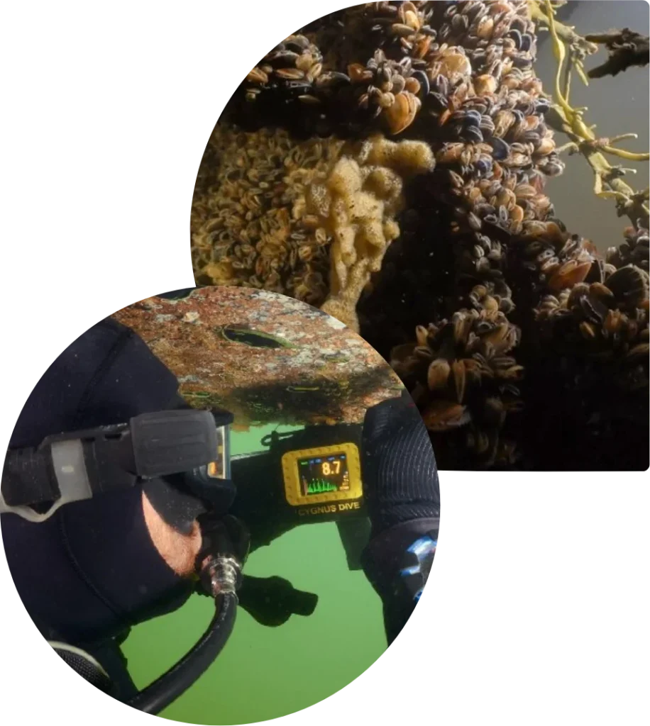
Our non-destructive ultrasonic thickness gauging, utilising the Cygnus Dive Underwater Gauge, ensures accurate measurements of metals up to 250mm thick. Tritonia’s expertise in this area enables comprehensive evaluations of structural metal integrity within marine environments, ensuring the durability and reliability of renewable energy infrastructure.
Comprehensive Surveys: Anchor and Mooring Systems
Our comprehensive surveys extend to thorough assessments of anchor and mooring systems, including biofouling and structural integrity evaluations. Utilising 3D photogrammetry technology, our analyses provide essential insights into the performance and stability of these pivotal systems. This understanding aids in optimising maintenance strategies and prolonging the lifespan of marine infrastructure in renewable energy projects.
Biofouling and Biosecurity Monitoring
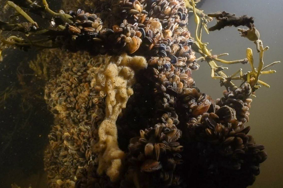
Tritonia’s team of experienced marine scientists specialises in identifying and managing invasive marine species, such as Didemnum vexillum. Through quantitative photo and video surveys of biofouling, we actively contribute to the conservation of marine ecosystems. Our vigilant monitoring ensures early detection and effective mitigation of biosecurity threats, supporting the sustainability of marine habitats in renewable energy settings.
